Methodology
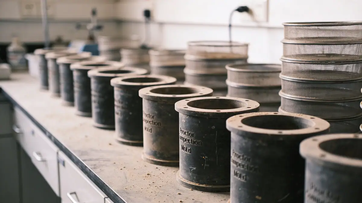
Our methodology for standard penetration test in Wollongong follows ASTM D1586 with rigorous quality control. Boreholes are advanced using rotary wash or continuous flight auger, with SPT sampling at 1.5 m intervals or at every change in stratum. We record blow counts per 300 mm penetration to derive N60 values corrected for hammer energy efficiency (typically 60% rod energy ratio). Energy measurements are calibrated on-site using a Pile Driving Analyzer (PDA) to ensure compliance with AS 1289.6.3.1. Our team integrates standard penetration test (spt) data with groundwater monitoring and geophysical logging to develop a coherent ground model for Wollongong's coastal and urban settings.
Reference Technical Parameters
| Parameter | Reference Value |
|---|---|
| Predominant soil type | Quaternary alluvium, coastal sands, estuarine clays over Hawkesbury Sandstone |
| Maximum seismic acceleration (PGA) | 0.08g to 0.12g (AS 1170.4, site class Ce–De) |
| Typical groundwater level | 1.5 m to 4.0 m below ground surface (seasonal variation up to 1 m) |
| Bedrock depth | 10 m to 30 m (Hawkesbury Sandstone); shallower in western suburbs |
| Typical N60 range | 5–15 in soft estuarine clays; 20–50 in dense sands; >50 in weathered rock |
Local Considerations — Wollongong
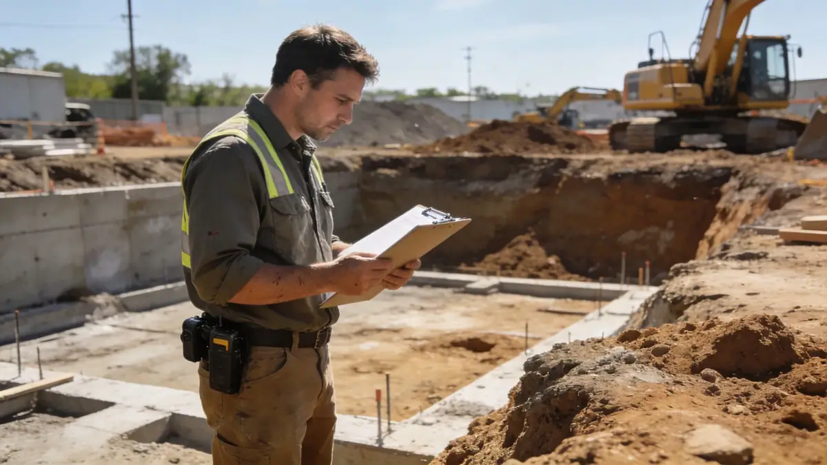
Wollongong's geology is dominated by Quaternary alluvium and coastal sand deposits overlying the Hawkesbury Sandstone. The water table is shallow (1.5–4 m) near the coast, requiring careful dewatering for deep excavations. Seismic hazard is moderate (PGA 0.08–0.12g per AS 1170.4), with potential liquefaction in loose saturated sands. Western suburbs (e.g., Figtree, Mount Keira) feature residual soils from the Illawarra Escarpment, while the coastal strip exhibits estuarine clays. Our team coordinates cone penetration test (cpt) alongside SPT to capture continuous stratigraphy and assess liquefaction trigger. Typical projects include high-rise towers, port infrastructure, and residential subdivisions requiring detailed ground characterization.
Request a Quote
Our team reviews your project and issues an initial report at no cost.
Or write us directly at contact@standardpenetrationtest.org
Services in Wollongong
Applicable Standards
- ASTM D1586
- AS 1170.4 (Seismic actions)
- AS 1289.6.3.1 (SPT in soils)
- AS 1726 (Geotechnical site investigations)
- Eurocode 7 (reference for design)
Frequently Asked Questions
What soil types are commonly encountered during standard penetration test in Wollongong?
Wollongong's subsurface typically consists of Quaternary alluvium, coastal sands, and estuarine clays overlying Hawkesbury Sandstone. SPT N60 values in soft clays range 5–15, while dense sands exhibit 20–50. These conditions influence foundation design and liquefaction potential.
Is standard penetration test mandatory for building permits in Wollongong?
While not explicitly mandated by all councils, most development applications in Wollongong require a geotechnical investigation including SPT for structures over two stories or in areas with variable soil conditions. Compliance with AS 1726 and local council guidelines is typically required.
How does seismic hazard affect SPT requirements in Wollongong?
Wollongong falls in Seismic Zone 2 (AS 1170.4) with PGA 0.08–0.12g. SPT data is used to determine site class (Ce–De) and assess liquefaction susceptibility in loose saturated sands. This is critical for design of essential facilities and multi-story buildings.