
Methodology
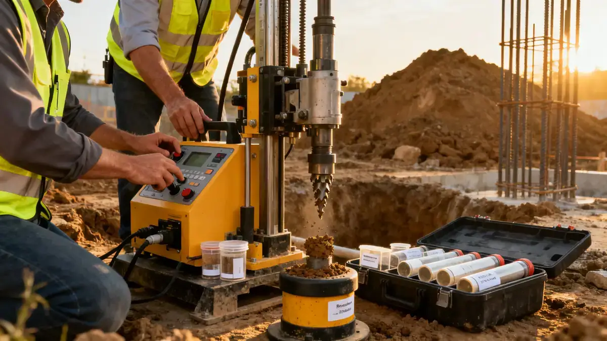
Our standard penetration test methodology in Port Macquarie follows AS 1289.6.3.1 and ASTM D1586, using a 63.5 kg hammer dropped 760 mm to drive a split-barrel sampler. We record N-values at 1.5 m intervals to a typical depth of 15 m, with continuous sampling in variable strata. Soil samples are retrieved for classification and laboratory testing, including moisture content, particle size distribution (AS 1289.3.6.1), and Atterberg limits. For detailed profiling, we complement SPT with cone penetration test (cpt) to capture continuous stratigraphy. Our field crew calibrates equipment daily and reports energy efficiency (ERi) to correct N60 values.
Reference Technical Parameters
| Parameter | Reference Value |
|---|---|
| Predominant soil type | Holocene beach sands and estuarine silts over Pleistocene clayey sands |
| Maximum seismic acceleration (PGA) | 0.08 g (AS 1170.4, 1/500 year event) |
| Typical groundwater level | 1.5 to 3.0 m below ground surface (seasonal variation) |
| Bedrock depth | Variable; typically 10 to 25 m (weathered sandstone/mudstone) |
| Typical N60 range | 4 to 15 in sand layers; 15 to 40 in clayey sands |
Local Considerations — Port Macquarie
Port Macquarie's coastal geology comprises Quaternary alluvial and aeolian deposits over Jurassic sedimentary bedrock. The shallow water table (1.5–3 m) creates risks of liquefaction in loose sands during seismic events. Our firm applies AS 1170.4 site classification (typically Class D or E) and recommends SPT depths of 15–20 m for medium-rise developments. In older suburbs like Lake Cathie, stiff clay layers require careful N60 correction for rod length and borehole diameter. We integrate findings with our dpsh dynamic probing for rapid profiling in coastal sands. For projects requiring broader regional context, consider our standard penetration test en Sydney as a reference hub.
Request a Quote
Our team reviews your project and issues an initial report at no cost.
Or write us directly at contact@standardpenetrationtest.org
Services in Port Macquarie
Applicable Standards
- AS 1289.6.3.1 – Soil strength and consolidation tests – Determination of penetration resistance (SPT)
- AS 1170.4 – Structural design actions – Earthquake actions
- ASTM D1586 – Standard Test Method for Standard Penetration Test (SPT)
- AS 1726 – Geotechnical site investigations
Frequently Asked Questions
What soil conditions are typical for standard penetration tests in Port Macquarie?
Port Macquarie predominantly features Holocene beach sands, estuarine silts, and Pleistocene clayey sands. SPT N-values in sand layers typically range from 4 to 15, while clayey sands show 15 to 40. Groundwater is shallow (1.5–3 m), affecting drilling methods and sample recovery.
How does the seismic hazard in Port Macquarie affect SPT requirements?
Port Macquarie is in AS 1170.4 seismic zone with PGA of 0.08 g for 1/500 year events. Loose saturated sands are susceptible to liquefaction, so SPT is critical for evaluating cyclic resistance. Site classification (Class D or E) often requires deeper borings and energy-corrected N60 values.
Is a standard penetration test mandatory for building permits in Port Macquarie?
Port Macquarie-Hastings Council typically requires geotechnical investigations for residential slabs and all commercial structures. SPT is the preferred method for deep foundations and liquefaction assessment. Local guidelines often specify minimum boring depths of 10 m for two-storey dwellings.