
Methodology
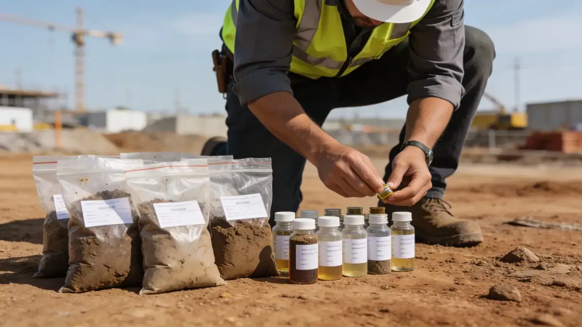
Our methodology for the standard penetration test (spt) in Bunbury follows strict adherence to ASTM D1586 and AS 1289.6.3.1. We deploy truck-mounted drill rigs with split-spoon samplers, recording blow counts (N-value) at 1.5-meter intervals to characterize soil strength and stratigraphy. Typical borehole depths range from 15 to 30 meters, depending on project requirements. Our team ensures energy efficiency corrections per AS 1289.6.3.2, providing reliable N60 values for liquefaction assessment and foundation design. We also integrate cone penetration test (CPT) and dynamic probing to complement SPT data.
Reference Technical Parameters
| Parameter | Reference Value |
|---|---|
| Predominant soil type | Sand, silty sand, and limestone |
| Maximum seismic acceleration (PGA) | 0.08g to 0.12g (AS 1170.4) |
| Typical groundwater level | 2-5 meters below ground surface |
| Bedrock depth | 10-30 meters (limestone) |
| Typical N60 range | 10-40 blows/300mm (sand) |
Local Considerations — Bunbury
Bunbury's geology consists of coastal sand dunes, alluvial deposits, and underlying Tamala Limestone, which poses challenges for deep foundations due to karstic features. The shallow groundwater table (2-5 m) requires dewatering or casing during SPT boring. Seismic hazard is moderate, with peak ground acceleration up to 0.12g under AS 1170.4, necessitating site-specific liquefaction analysis. In older suburbs like Withers, fill materials may be encountered, while newer developments on the outskirts feature competent sand. Typical projects include residential slabs and commercial piles, where our cone penetration test (cpt) provides continuous profiling. For comprehensive services, our team in standard penetration test en Perth supports regional projects.
Request a Quote
Our team reviews your project and issues an initial report at no cost.
Or write us directly at contact@standardpenetrationtest.org
Services in Bunbury
Applicable Standards
- ASTM D1586
- AS 1289.6.3.1
- AS 1170.4
- AS 2870
- AS 1726
Frequently Asked Questions
What soil types are commonly encountered in Bunbury?
Bunbury's subsurface typically comprises coastal sand dunes, alluvial silty sands, and Tamala Limestone. The sand layer is often loose to medium dense, with N60 values ranging from 10 to 40. Below the sand, limestone bedrock may be weathered or contain cavities, requiring careful SPT interpretation.
Is seismic site classification required for buildings in Bunbury?
Yes, per AS 1170.4, Bunbury falls in seismic Zone 1 or 2, with a hazard factor Z around 0.08. Site subclass (Ae to Ee) must be determined via SPT N60 or shear wave velocity. For most sites, Class Ce (shallow soil) or De (deep soil) applies, affecting design response spectra.
Are SPT borings mandatory for residential construction in Bunbury?
While not always mandatory for single-storey dwellings, local councils often require geotechnical assessments for sites with reactive soils or fill. SPT provides essential data for slab design per AS 2870, especially in areas with deep sand or near the coast where liquefaction risk exists.