Methodology
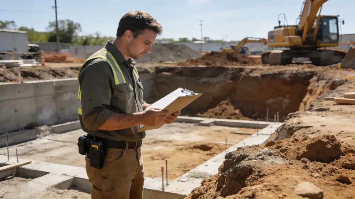
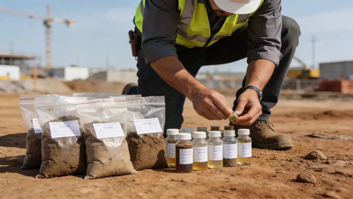
Our standard penetration test methodology follows AS 1289.6.3.1 and ASTM D1586, using a 63.5 kg hammer dropped 760 mm to drive a split-spoon sampler. In Albury Wodonga, we typically extend borings to 10–15 m depth to penetrate the Murray River alluvium and reach the underlying bedrock. We record N-values at 1.5 m intervals, with continuous sampling in variable strata. For cohesive soils, we also perform standard penetration test (spt) with undisturbed tube sampling to assess shear strength. Our data supports foundation design for residential, commercial, and infrastructure projects.
Reference Technical Parameters
| Parameter | Reference Value |
|---|---|
| Predominant soil type | Alluvial silty clay and sand over weathered granite/gneiss bedrock |
| Maximum seismic acceleration (PGA) | 0.10–0.12 g (AS 1170.4, intermediate seismicity) |
| Typical groundwater level | 2–5 m below surface (variable with Murray River stage) |
| Bedrock depth | 10–20 m in central Albury; deeper in floodplain areas |
| Typical N60 range | 5–15 in alluvium; >50 in weathered rock |
Local Considerations — Albury Wodonga
Albury Wodonga's geology consists of Quaternary alluvium from the Murray River and its tributaries, overlying Silurian-Devonian granites and metasediments. Key considerations include (1) variable soil layering with interbedded sands and clays, (2) shallow groundwater influenced by river levels, (3) moderate seismicity with PGA up to 0.12 g per AS 1170.4, (4) contrast between firm alluvial soils in the floodplain and stiffer residual soils on the hillsides, and (5) typical foundation issues such as settlement in soft clays and liquefaction potential in loose sands. Our team recommends cone penetration test (cpt) for continuous profiling in these variable deposits. For broader regional context, see our standard penetration test en Canberra page.
Request a Quote
Our team reviews your project and issues an initial report at no cost.
Or write us directly at contact@standardpenetrationtest.org
Services in Albury Wodonga
Applicable Standards
- AS 1289.6.3.1 – Soil strength and consolidation tests – Determination of penetration resistance of a soil – Standard penetration test (SPT)
- AS 1170.4 – Structural design actions – Earthquake actions in Australia
- AS 2870 – Residential slabs and footings
- ASTM D1586 – Standard Test Method for Standard Penetration Test (SPT) and Split-Barrel Sampling of Soils
- Eurocode 7 – Geotechnical design (reference for international projects)
Frequently Asked Questions
What are the typical soil conditions encountered in Albury Wodonga?
The region features Quaternary alluvial deposits of silty clay, sand, and gravel overlying weathered granite and metasedimentary bedrock. Soil variability is high, with interbedded layers and shallow groundwater. SPT N-values in the alluvium typically range from 5 to 15, increasing significantly in the weathered rock.
Is seismic design required for foundations in Albury Wodonga?
Yes, AS 1170.4 classifies Albury Wodonga as an intermediate seismicity region with a peak ground acceleration of 0.10–0.12 g. Geotechnical investigations must assess site class and liquefaction potential, especially in loose, saturated sands near the Murray River.
Are geotechnical investigations mandatory for building permits in Albury Wodonga?
While not always mandatory for minor structures, most local councils require a geotechnical report for commercial buildings, multi-storey residential, and infrastructure projects. The report must include SPT or CPT data to verify bearing capacity and settlement compliance with AS 2870 and the National Construction Code.